 |
Aleutian-Islands
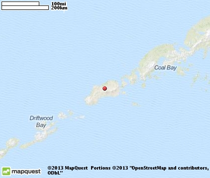
are a chain of islands off the southern coast of Alaska that extend westward, forming part of the Aleutian Arc. The islands extend about 1,200 miles toward the Kamchatka Peninsula and mark a line between the Bering Sea and the Pacific Ocean. They are the westernmost part of the United States. The Aleutian Islands consist of 14 large volcanic islands and 35 smaller ones. The Alaska Marine Highway, which is a ferry service operated by the Alaskan government, passes through the islands. The Aleutian Islands are remote and rarely visited. For those who do visit aboard the Alaska Marine Highway, there are only two stops. The first stop is the fishing village of False Pass, population 64, and located on the tip of Unimak Island. False Pass offers an old salmon cannery and boat docks, a post office, school, clinic and city office building. It's been said of the Aleutian Islands that "on a quiet day, when the turbulent seas and legendary winds are still, you can hear a killer whale breathe." The vast majority of the islands are bare of trees, and ones that are here are less than five feet tall. This is because the strong winds tend to snap off the taller trees. The flora consists mainly of dense herbage and shrubs such as crowberry, bluejoint, grasses, sedges, and peat bog near the coasts. The Aleutian Islands are home to large colonies of seabirds and almost all of the islands are protected as part of the Alaska Maritime National Wildlife Refuge and the Aleutian Islands Wilderness.

|
Aleutian Islands Vacation Rentals
|

|
|
|
|
|
Aleutian Islands Hotels and Resorts
|
|
|

|
Aleutian Islands Weather & Climate
|

|
|
|
The Aleutian Islands have a subpolar oceanic climate. This is the southernmost point in the state of Alaska. A subpolar oceanic climate is characterized by persistently overcast skies, moderate temperatures, high winds, and frequent cyclonic storms. Average temperatures range from 20 to 60 degrees F., but wind chill factors often make it feel frigid. Winter squalls produce wind gusts of up 120 miles per hour. Summer weather is much cooler here than in southeast Alaska, and summer fog is persistent. The islands in this part of southern Alaska receive abundant rainfall, with 263 rainy days per year. Average accumulated snowfall is 100 inches, although snow tends to melt soon after falling.
|
| Month |
High Temp |
Low Temp |
Rainfall |
Ocean Temp |
| January |
- |
- |
- |
- |
| February |
- |
- |
- |
- |
| March |
- |
- |
- |
- |
| April |
- |
- |
- |
- |
| May |
- |
- |
- |
- |
| June |
- |
- |
- |
- |
| July |
- |
- |
- |
- |
| August |
- |
- |
- |
- |
| September |
- |
- |
- |
- |
| October |
- |
- |
- |
- |
| November |
- |
- |
- |
- |
| December |
- |
- |
- |
- |

|
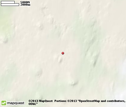
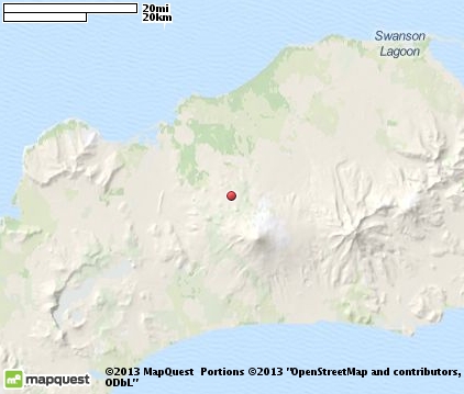
Aleutian Islands Map & Transportation
|

|
|
 |
|
|
| Click each thumbnail image to enlarge. |
 |
|
 |
 |
The closest airports in the area are the Cold Bay airport (CDB) located about 58 miles east of Aleutian Islands in Cold Bay, Alaska.
|

|
Aleutian Islands Attractions
|

|
|
Notice a problem with the information on this page? Please notify us.
|
Disclaimer: We recommend you conduct your own research regarding all accomodations and attractions found on this website. The distances shown on this website are straight-line distances as the crow flies. The road distance may be considerably longer. You assume all liability for use of any information found on this website. No information is confirmed or warranted in any way. By using our services you agree to the terms and conditions of this disclaimer.
|
| We are the #1 site for your Alaska Vacation presenting Alaska vacation rentals, hotels, weather and map for each city. |
Alaska Vacation .com
©1997-2025 All Rights Reserved.
|
|